Other Humanitarian / Esoteric applications
Other Humanitarian / Esoteric applications
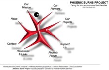 Phoenix Burns Project GIS Phoenix Burns Project GIS
A GIS is under development [for the Phoenix Burns Project] to support community-based care of paediatric burns survivors in the Cape Peninsula. The cadastral vector data required for the GIS spatial reference database has been kindly supplied by the City Maps division of the Cape Town City Council. Field observations relating to the burns patients is still being collated and will be incorporated into the GIS and analysed as soon as received.
|